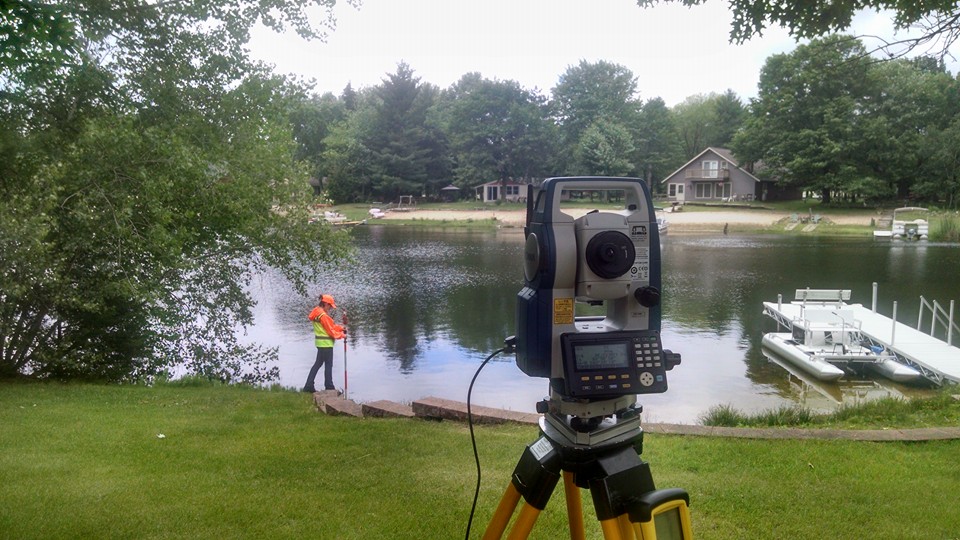
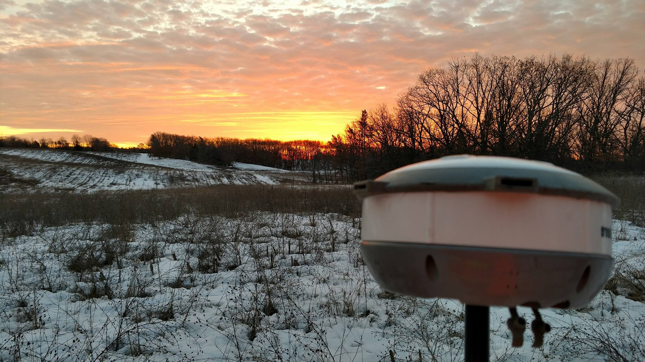
Bosshard Surveying, LLC
Full Service Professional Land Surveyors
920-293-4001
info@surveywi.com
Services
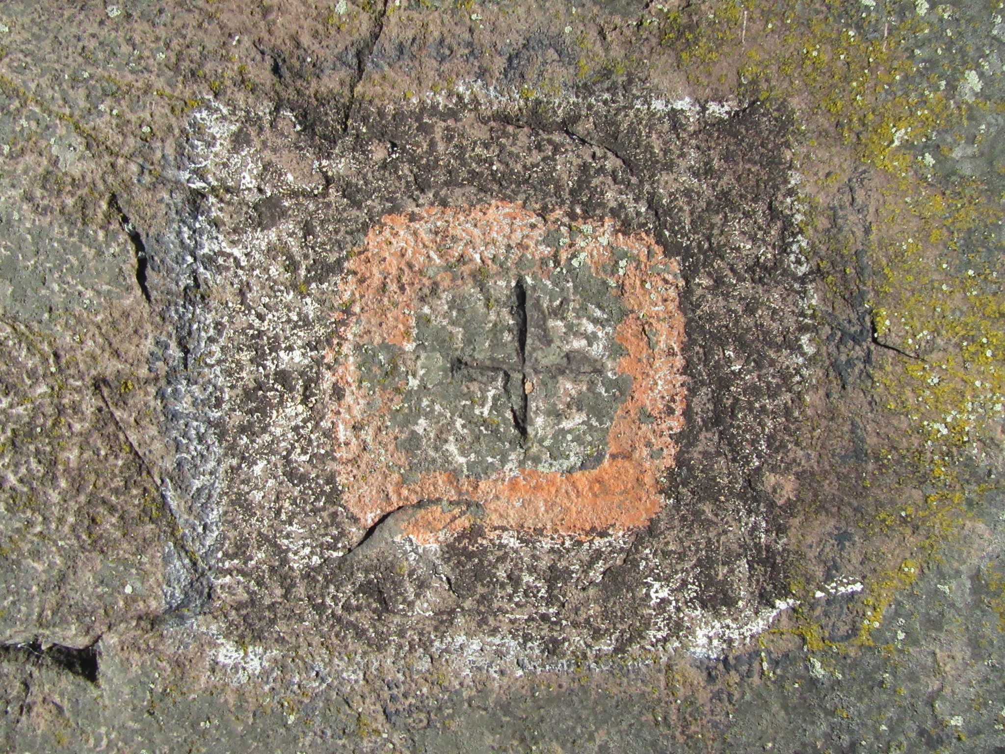
Boundary Surveys
A survey used to identify existing property boundary lines, and confirm the location of corner monuments. All boundary surveys are conducted under the authority of Wisconsin State Law. In addition to the boundary lines, these surveys may also show all visible features located on the lot, and can be used for local and county permitting.
Land Divisions & Combinations
These surveys are used to split smaller lots from larger parcels of land. The most common survey is the Certified Survey Map, this is a minor land division of less than 4 lots, if more than 4 lots are being created we prepare a subdivision plat. Certified Survey Maps are also used to combine several smaller parcels of land into a larger lot.
Floodplain Surveys
We offer complete Floodplain survey services are used in order to obtain flood insurance, or to remove a structure or lot from the mapped flood zone. We specialize in Letters of Map Amendments (LOMAs) and handle all of the communication and correspondence with FEMA to bring the project to completion.
Construction Surveys
Construction surveys stake out features and structures like roads, utilities, walls, and buildings within a construction project. The survey stakes the slope, vertical and horizontal grading, and an As-built survey.
ALTA Surveys
An ALTA land survey is a boundary survey that has especially stringent requirements as developed by a joint effort of the American Land Title Association and the American Congress on Surveying and Mapping. The ALTA standards are a nationwide uniform set of standards. Sometimes referred to as the “Cadillac of surveys”. The survey is specifically designed to satisfy the needs of lenders, corporations and title companies when dealing with valuable commercial properties.
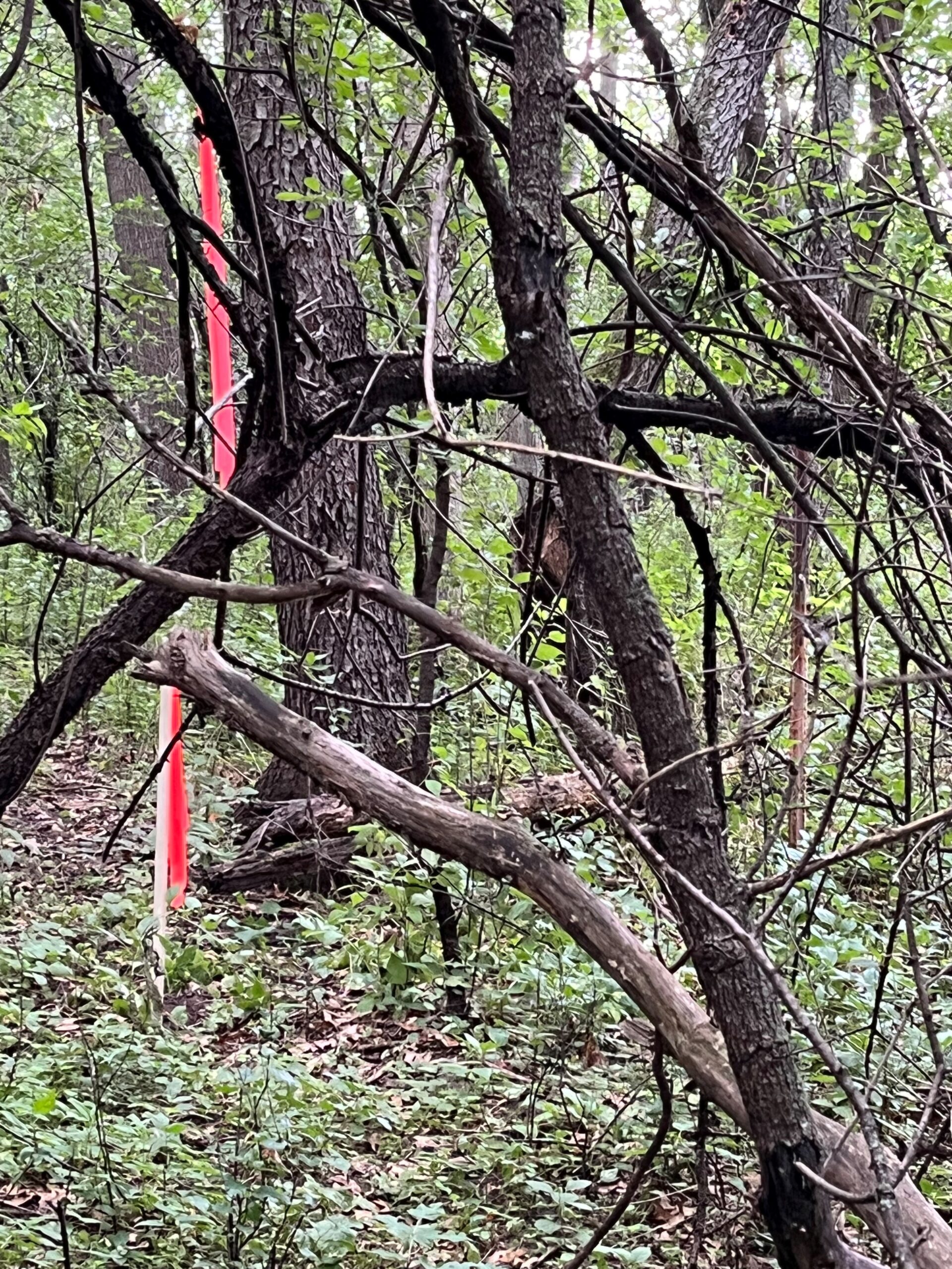
Lot Line Marking
This can be done independent of or in conjunction with a boundary survey. Simply stated we can place wood lath, steel u-posts, or steel T-posts at any given interval along your property lines.
About Us
David Bosshard, PLS-2641
Bosshard Surveying, LLC has the high honor of carrying on the tradition of nearly 50 years of survey experience in Waushara, Marquette, and Green Lake Counties including work throughout Wautoma, Montello, & Green Lake. Though the name has changed over the last 50 years, our office still holds all of those survey records of the following Professionals who have worked here: Donathon Palmer, Gary Schindler, Robert Welch, Patrick Krier, Steve Waak, and Mike Moe.
David Bosshard, PLS-2641 now carries on in that tradition of those who have gone before, having nearly 30 years of surveying experience, he oversees all projects our office completes.
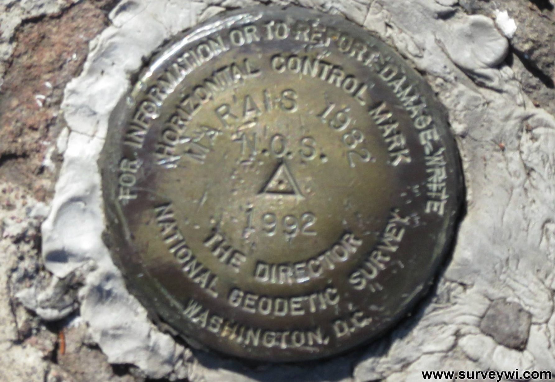
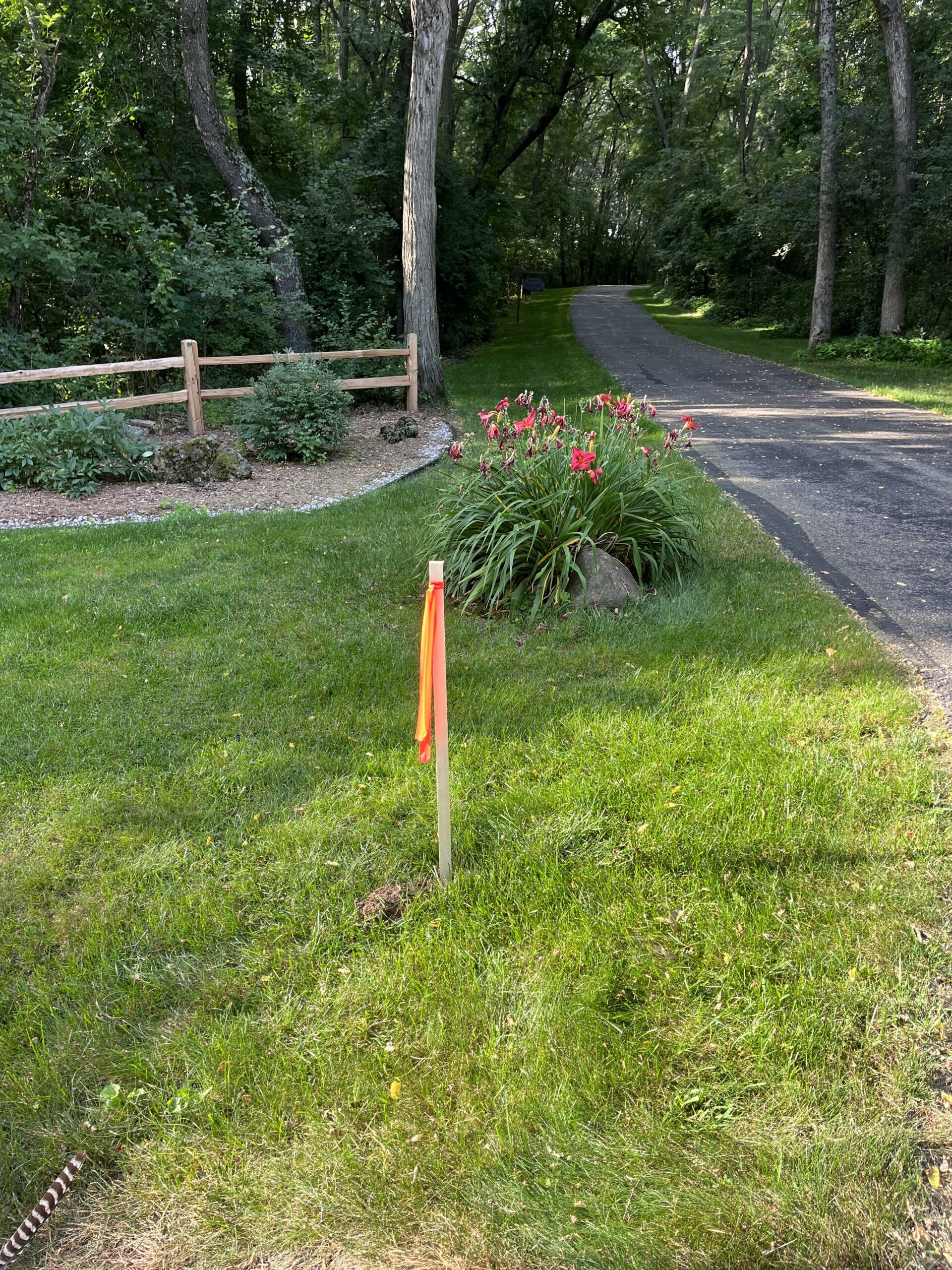
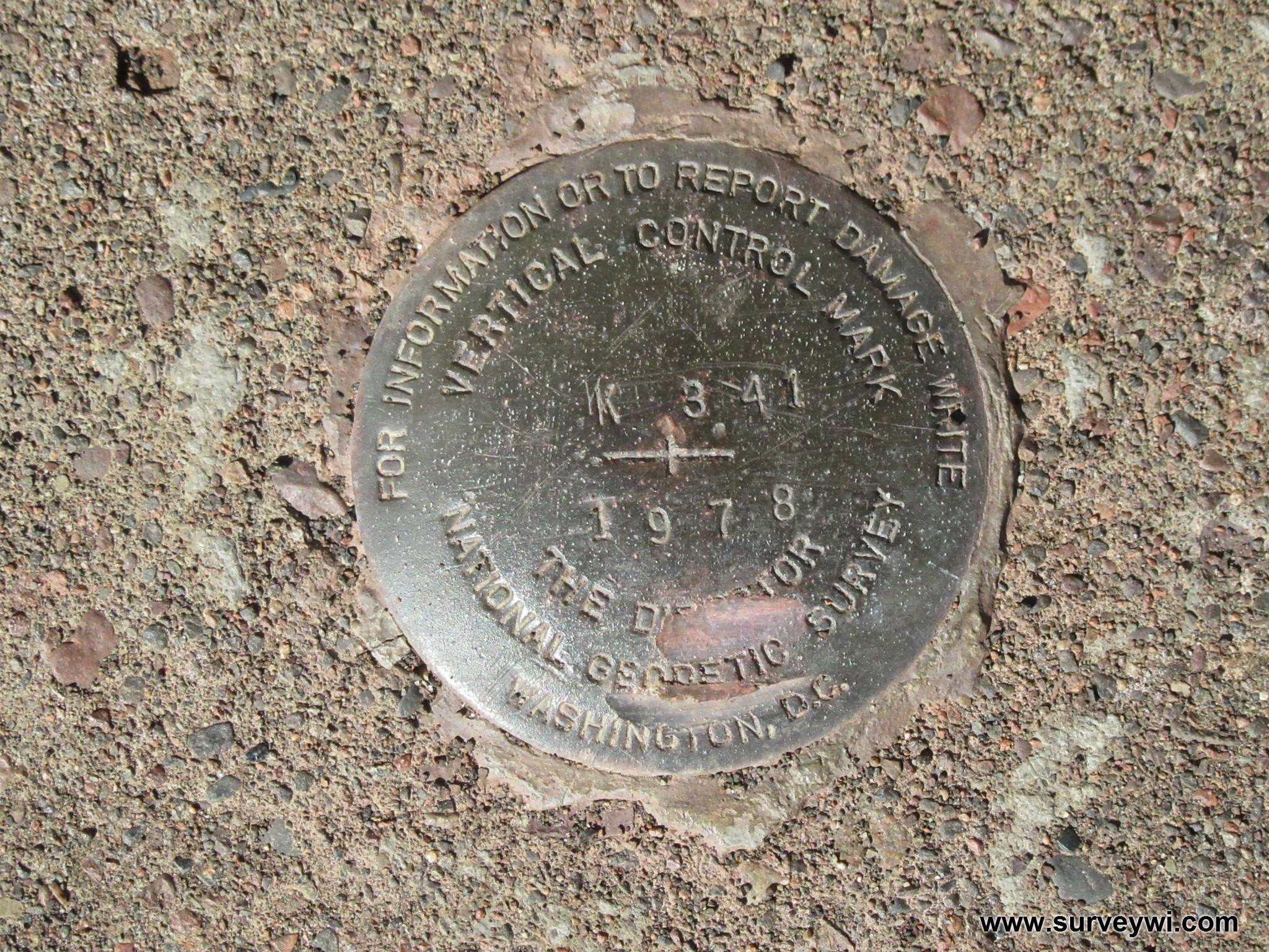
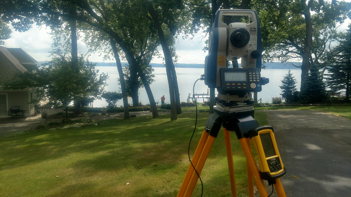
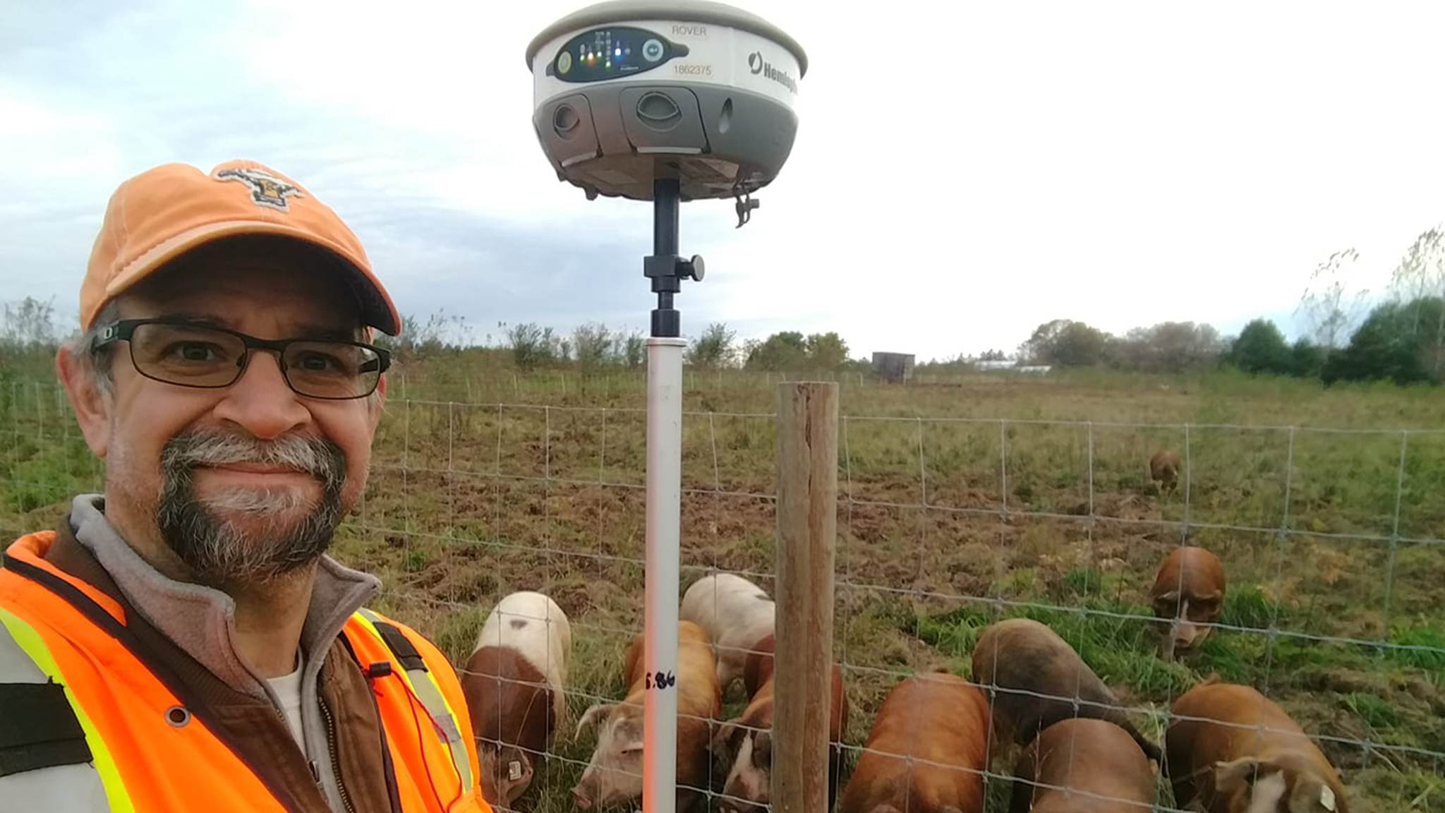
Gallery